Marine Navigator 2.1.18
Paid Version
Publisher Description

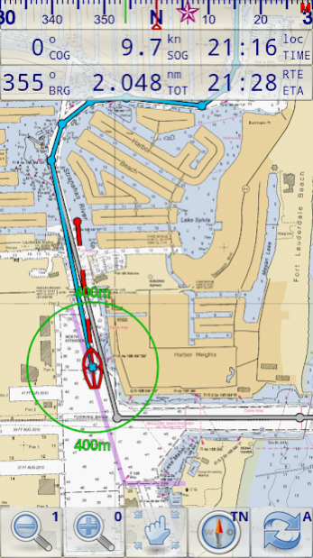
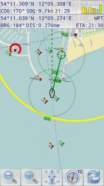
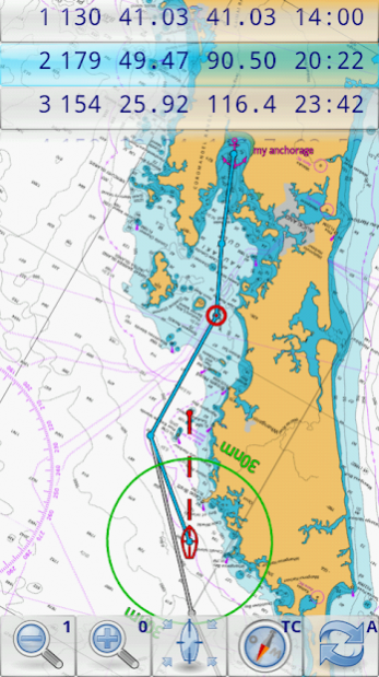
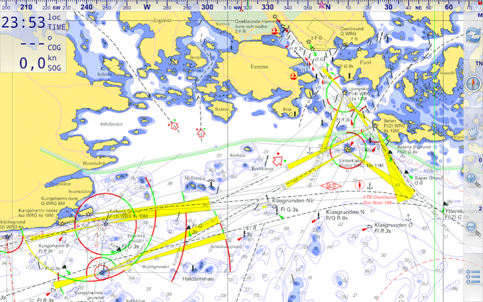


Marine Navigator is an offline navigator using raster navigational charts (RNC's) to plot your position in real time. This way you can navigate with true copies of official paper charts on your mobile device. This full version of the Marine Navigator provides besides the functionality of the lite version the following enhanced functions:
* automatic chart switching depending on current position and zoom level
* scrolling through all charts available for the current location by "press and hold" zoom buttons
* display of number of available charts for current location in the zoom buttons
* display of outlines of installed charts in active chart
* chart rotation (True North, True Course, Compass Heading, original chart orientation)
* support of non-mercator projections (Polyconic, Transverse Mercator, UTM, ...) by polynomials
* support of geodetic datum other than WGS84/NAD83 by applying northing and easting
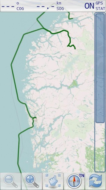
* tracks, way points, routes
* follow route automatically
* intuitive route editor
* gpx import and export of waypoints and routes
* gpx export of tracks
* recording of tracks in active and standby mode
* compass (magnetic heading, true heading, true north indicator)
* different dashboard layouts (basic data, detailed route data, detailed GPS data including graphical status info)
* Man Over Board (MOB) functions
* import and storage of installed charts in external folders
* support of encrypted charts including activation via EMAIL
* switching between chart sets (support of large number of installed charts)
* http://www.nauticalcharts.noaa.gov/mcd/Raster/index.htm (Suite of NOAA nautical charts that covers the coastal waters of the U.S. and its territories)
* http://www.mar.mil.br/dhn/chm/box-cartas-raster/raster_disponiveis.html (Suite of CHM nautical charts that covers the coastal waters of Brazil and its major rivers)
* http://www.linz.govt.nz/hydro/charts/digital-charts/nzmariner (NZMariner is the product name of New Zealand's Official RNC folio.)
* http://www.openseamap.org (Openseamap charts are based on Openstreetmap data enriched with additional nautical information. The charts cover selected european coastal waters).
Native Marine Navigator MNX-charts are offered by selected chart distributors. The charts are maintained by the distributor. They are not free. Further regions are coming):
* http://www.visitmyharbour.com/download-android-charts (Chart sets for UK/IRL, IBERIA, Belgium and Netherland)
* http://maps.soltek.se (Charts for Sweden and Finland)
Try before you buy: You can test the basic functions of Marine Navigator by downloading Marine Navigator Lite. If you like the app and are looking for a comprehensive set of navigational functions purchase this full version.
About Marine Navigator
Marine Navigator is a paid app for Android published in the Recreation list of apps, part of Home & Hobby.
The company that develops Marine Navigator is Ronald Koenig. The latest version released by its developer is 2.1.18. This app was rated by 1 users of our site and has an average rating of 4.0.
To install Marine Navigator on your Android device, just click the green Continue To App button above to start the installation process. The app is listed on our website since 2020-05-24 and was downloaded 118 times. We have already checked if the download link is safe, however for your own protection we recommend that you scan the downloaded app with your antivirus. Your antivirus may detect the Marine Navigator as malware as malware if the download link to de.kemiro.marinenavigator2 is broken.
How to install Marine Navigator on your Android device:
- Click on the Continue To App button on our website. This will redirect you to Google Play.
- Once the Marine Navigator is shown in the Google Play listing of your Android device, you can start its download and installation. Tap on the Install button located below the search bar and to the right of the app icon.
- A pop-up window with the permissions required by Marine Navigator will be shown. Click on Accept to continue the process.
- Marine Navigator will be downloaded onto your device, displaying a progress. Once the download completes, the installation will start and you'll get a notification after the installation is finished.
